

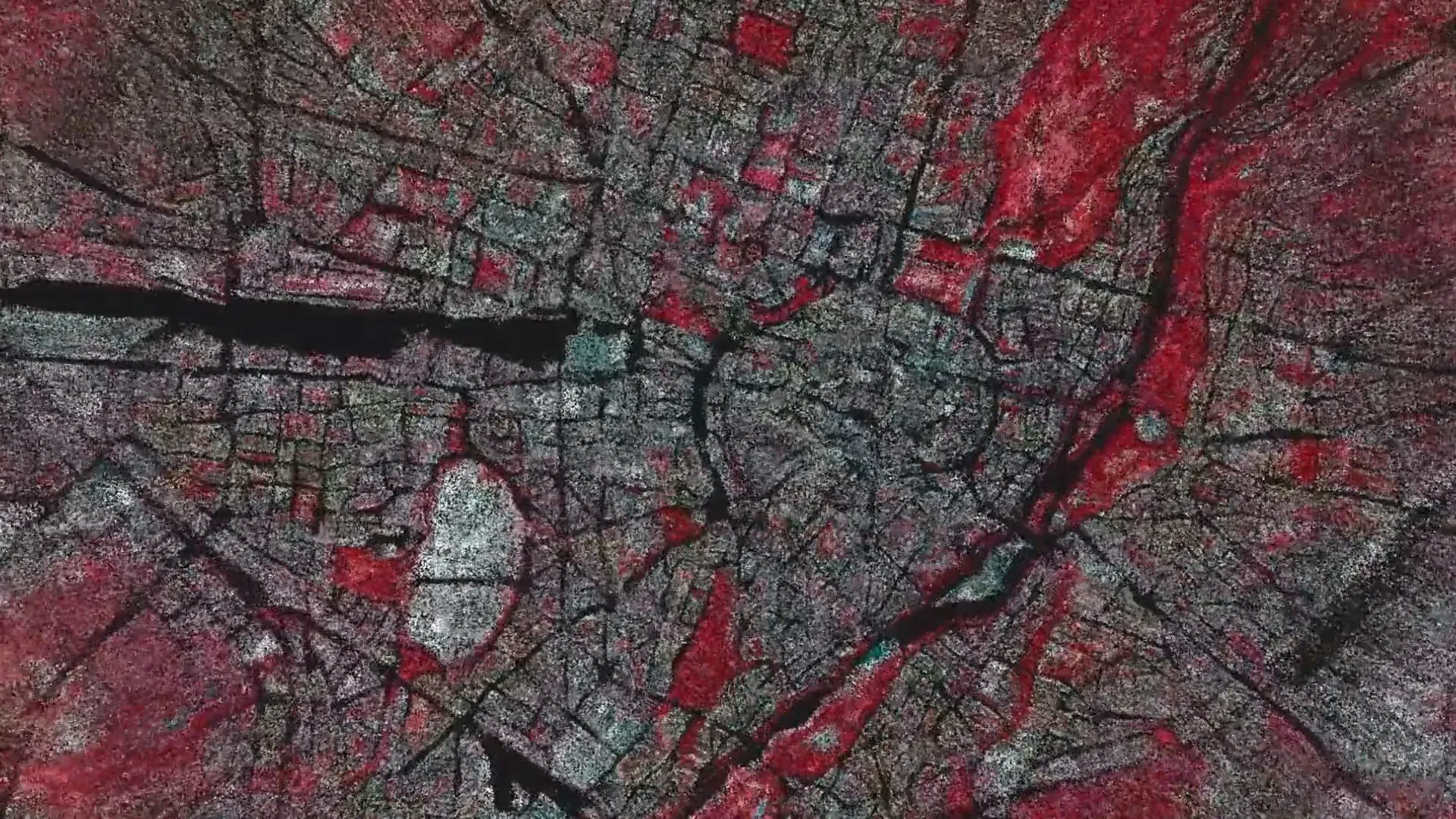
Data Soil turns data from Munich’s digital twin into a field of particles projected onto white sand. Visitors navigate mobility, climate, infrastructure and urban histories: data ceases to be an abstract table and becomes a physical environment in which political choices remain visible.
The installation was created by 3e8.Studio, a digital art and creative technologies studio based in Vienna and Berlin, with GeodatenService München. First shown at Pinakothek der Moderne, it is on view in Data in a box at PlanTreff, Munich, Germany, from 22 September 2026 to 25 March 2027.
Documentation: The embedded video shows a detail of the Data Soil visualization for its presentation at the Architekturmuseum der TUM in the Pinakothek der Moderne. This archival documentation was published by 3e8 on 20 October 2025. The current PlanTreff presentation appears in the post of 24 September 2026.